


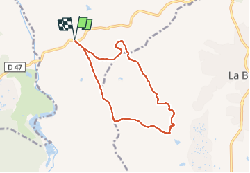

17,3 km | 26 km-effort

Utilisateur


Application GPS de randonnée GRATUITE
 SityTrail
IGN / Instituts géographiques
SityTrail World
Le monde est à vous
Randonnée Marche de 7,3 km à découvrir à Provence-Alpes-Côte d'Azur, Var, Le Muy. Cette randonnée est proposée par cb8310.
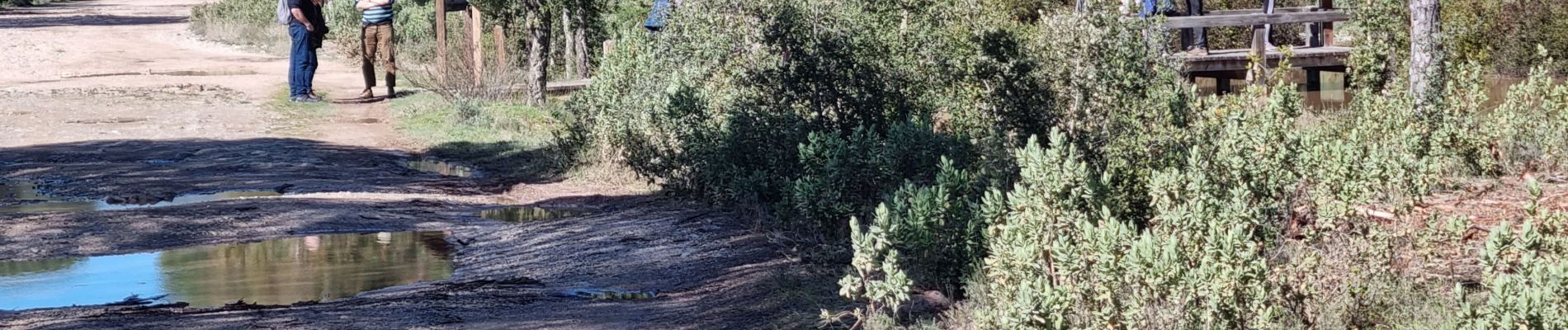
rando sans difficultés si ce n'est les mares et le ruisseau qui coule abondamment suite aux pluies de ces derniers jours et qui nous a obligés à nous déchausser pour le traverser


Marche

Marche

Marche

Marche

Marche

Marche

Marche

Marche


sport